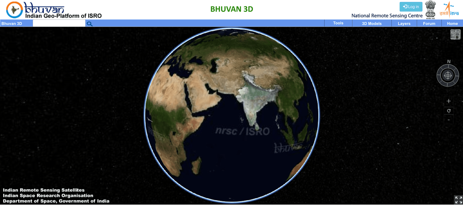
In the rapidly evolving landscape of agritech, ISRO’s Bhuvan platform stands out as a transformative tool for the agricultural sector in India. Launched in 2009, Bhuvan offers high-resolution satellite imagery and geospatial data tailored specifically for Indian users. This geospatial platform is revolutionizing agriculture by providing critical data and tools that enhance crop management, soil health monitoring, water resource management, and more.
Key Features and Functionality of Bhuvan for Agritech
1. Crop Monitoring and Assessment:
- Satellite Imagery: Bhuvan provides high-resolution satellite imagery that tracks and monitors crop health, growth stages, and detects pest infestations or diseases. This allows farmers to take timely action to protect their crops.
- Crop Acreage Estimation: It helps estimate the acreage of various crops, essential for planning and managing agricultural resources effectively.
2. Soil Health and Management:
- Soil Maps: Detailed soil maps from Bhuvan help understand soil types, fertility levels, and other properties. This information assists farmers in making informed decisions about crop selection and soil management practices.
- Soil Moisture Monitoring: The platform provides data on soil moisture levels, crucial for efficient irrigation management and drought assessment.
3. Water Resource Management:
- Irrigation Planning: Bhuvan’s data on water bodies, river basins, and watershed management supports efficient irrigation planning and water resource management.
- Flood and Drought Monitoring: The portal offers tools for monitoring and assessing flood and drought conditions, aiding farmers and authorities in disaster preparedness and response.
4. Weather and Climate Data:
- Weather Forecasting: Bhuvan integrates weather data and forecasts, providing farmers with critical information on weather conditions to plan agricultural activities.
- Climate Analysis: Historical climate data available on Bhuvan can be used to analyze climate patterns and trends, essential for long-term agricultural planning and adaptation strategies.
5. Precision Farming:
- GIS Tools: Bhuvan offers various Geographic Information System (GIS) tools that enable precision farming practices. Farmers can use these tools to create field maps, manage farm activities, and optimize inputs like fertilizers and pesticides.
- Crop Yield Prediction: Using remote sensing data, Bhuvan helps predict crop yields, allowing farmers and policymakers to plan accordingly.

AI generated image for representation purpose only
6. Land Use and Land Cover Mapping:
- Land Classification: Bhuvan provides land use and land cover maps that identify agricultural lands, fallow lands, forest areas, and other land categories. This information is useful for land use planning and management.
7. Disaster Management:
- Natural Disaster Monitoring: Bhuvan aids in monitoring natural disasters such as cyclones, floods, and landslides, helping protect agricultural assets and ensuring food security.
8. Market Analysis:
- Geospatial Analytics: Bhuvan’s geospatial analytics assist in market analysis by mapping crop yields, identifying potential market areas, and planning transportation routes for agricultural produce.
Recent Enhancements to Bhuvan
Recently, ISRO launched two new tools that further enhance Bhuvan’s capabilities:
- Bhuvan-Panchayat: This tool empowers local governance by providing enriched datasets and analytical tools. It enables village councils (Panchayats) to make informed decisions using detailed geospatial data, effectively addressing local issues.
- National Database for Emergency Management (NDEM): This tool optimizes ISRO’s disaster response and management capabilities with improved datasets. It facilitates risk assessment and mitigation during emergencies, underscoring ISRO’s dedication to harnessing space technology for societal welfare.
ISRO’s Bhuvan is a testament to India’s growing prowess in space technology and geographic information systems. As it continues to evolve and innovate, Bhuvan remains a crucial tool for fostering sustainable development, expertise in agrotechnology, enhancing disaster resilience, and empowering users with the power of spatial information. Bhuvan’s contributions to agritech underscore its potential to significantly boost agricultural productivity and sustainability in India.


